High-Quality Lidar Mapping Services
Our UAV Lidar Mapping Services allow us to capture intricate terrain details efficiently and accurately for various applications. Elevate your projects with high-quality data tailored to your needs.
What is Lidar Mapping?
Lidar (Light Detection and Ranging) is a remote sensing method that uses light in the form of a pulsed laser to measure variable distances to the Earth. These light pulses, combined with other data recorded by the airborne system, generate precise, three-dimensional information about the shape of the Earth and its surface characteristics.
Benefits of Lidar Mapping Services
- Accuracy: Provides highly accurate and detailed terrain models.
- Efficiency: Surveys large areas quickly compared to traditional methods.
- Versatility: Suitable for various applications such as forestry, construction, and environmental monitoring.
- High Resolution: Captures fine details not possible with other surveying methods.
Applications of Lidar Mapping Services
- Topographic Mapping: Creating detailed maps of terrain for planning and development.
- Forestry: Monitoring forest structure, biomass, and health.
- Infrastructure: Surveying roads, railways, and urban environments.
- Environmental Monitoring: Assessing changes in land use, vegetation, and habitats.
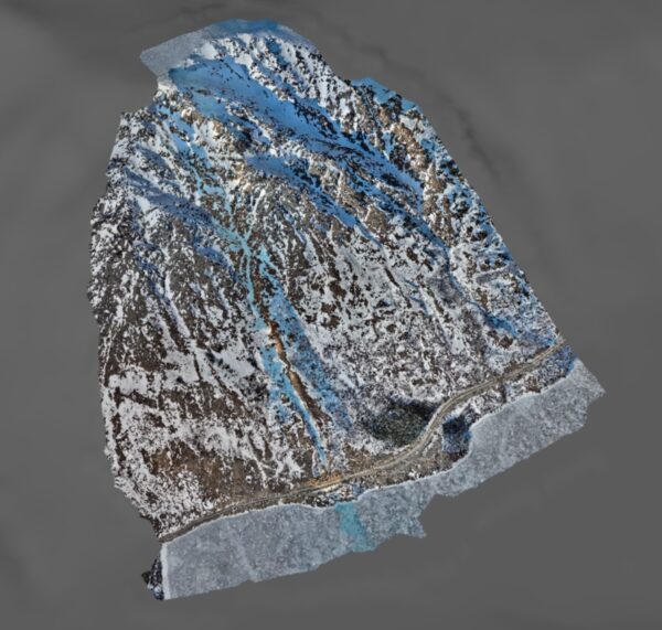
LiDAR Mapping
LiDAR Applications in Remote Terrain
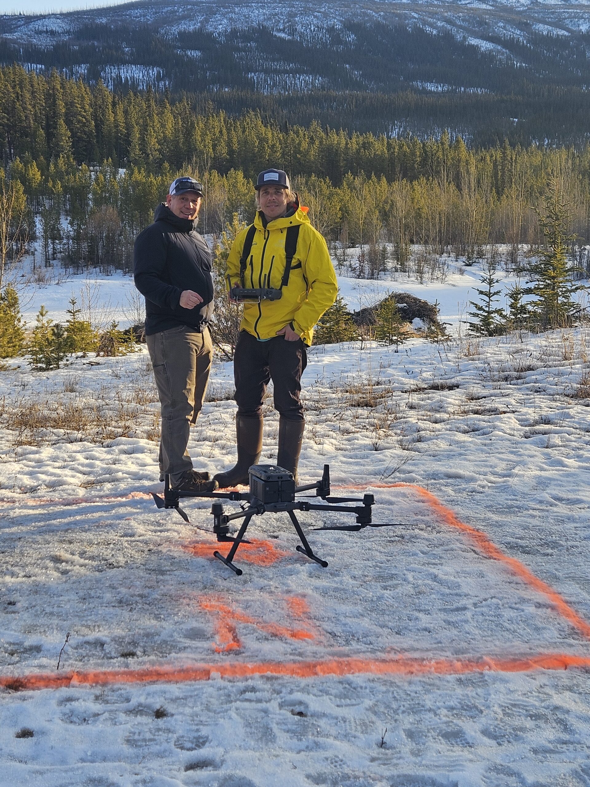
Our Lidar Mapping Services
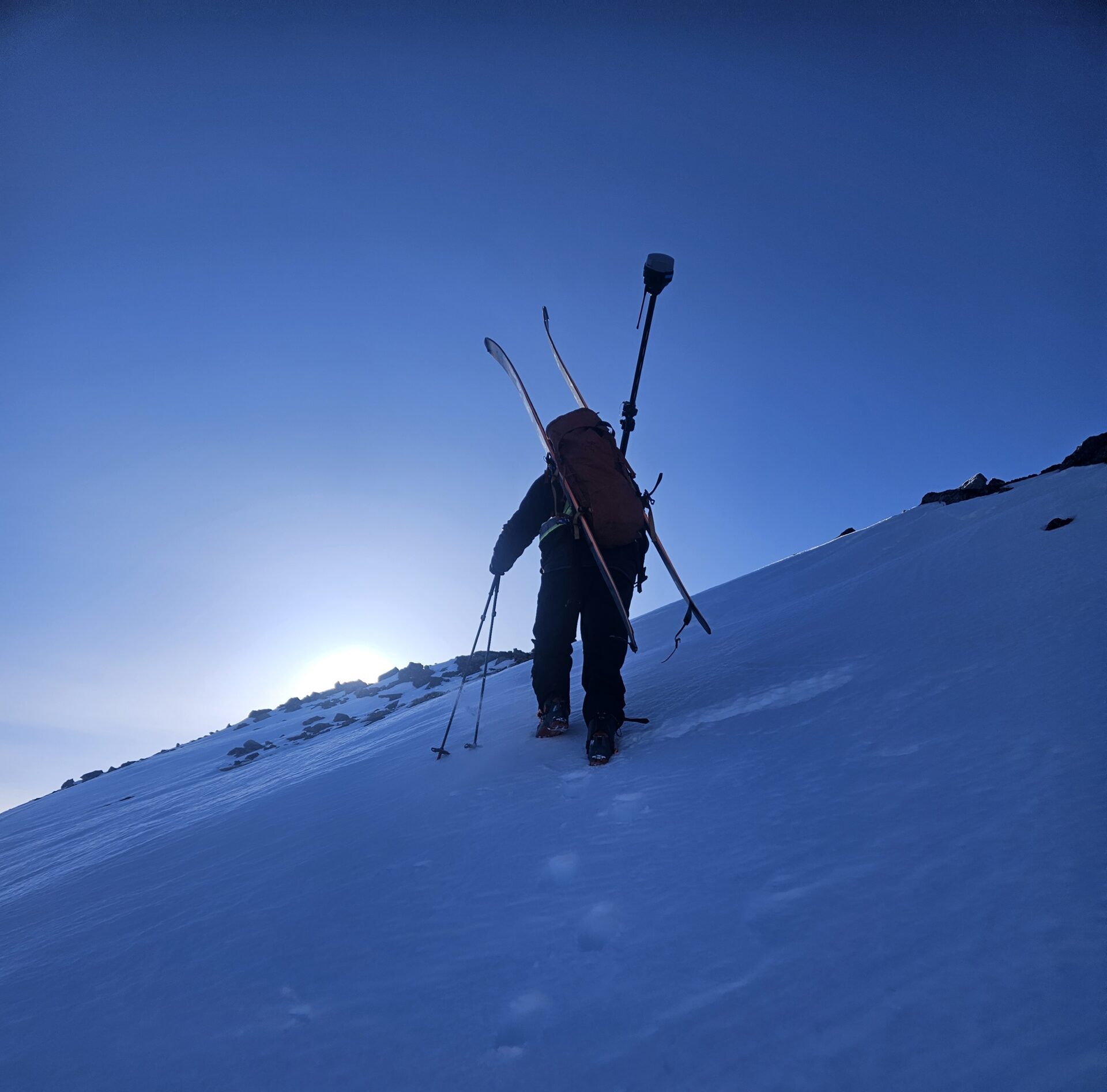
At Alpine Solutions, we specialize in geomatics and UAV services tailored to the unique challenges of mountain environments. Our services include:
- Aerial Surveys: Conducting high-resolution surveys of large areas using advanced UAV technology.
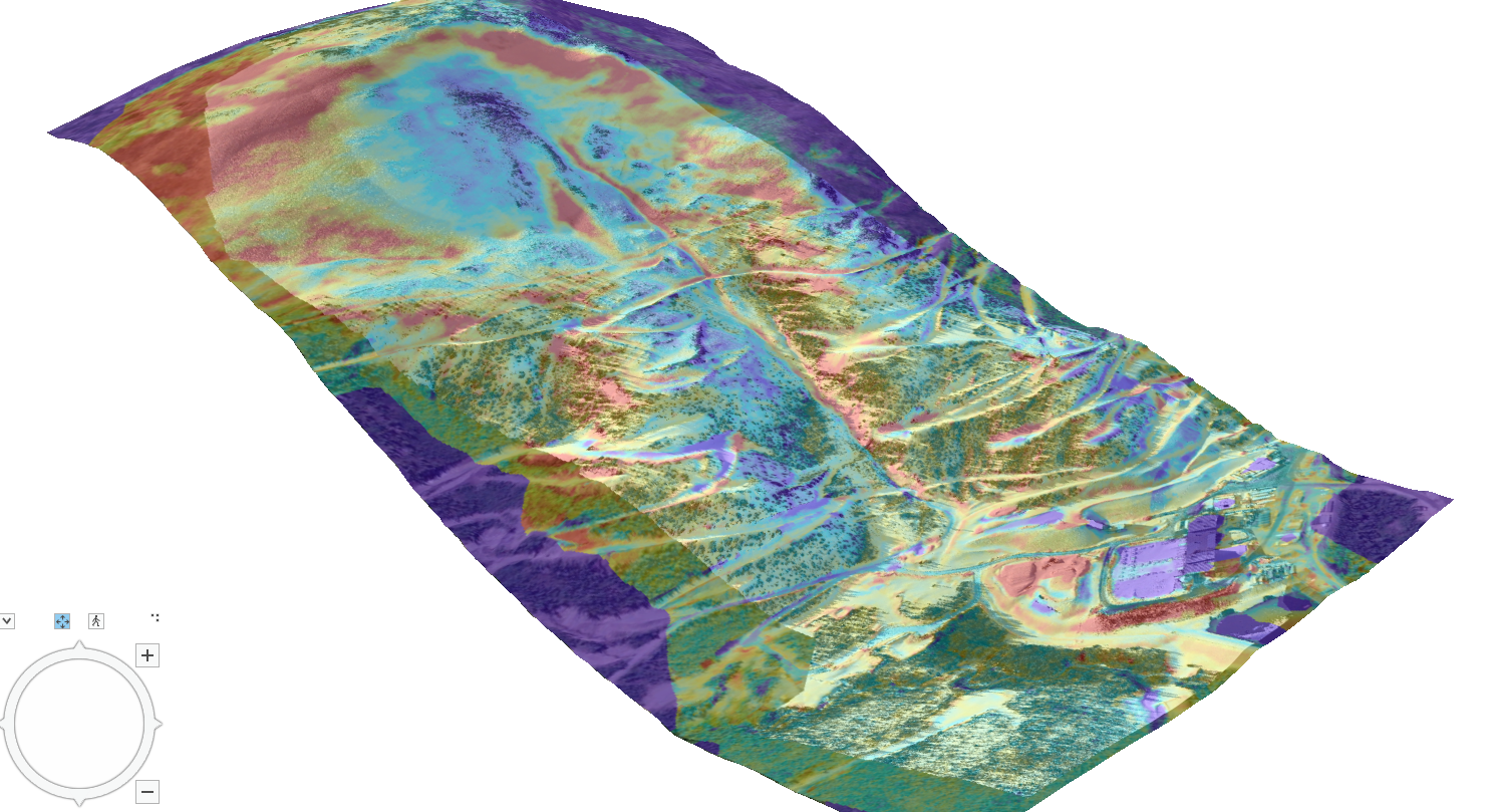
- 3D Modeling: Creating detailed 3D models of terrain and structures for precise analysis and planning.
- Data Analysis: Providing in-depth analysis and visualization of Lidar data to inform decision-making.
- Customized Solutions: Tailoring data collection and analysis to meet the specific needs of your project, ensuring you receive the most relevant and actionable insights.
Why Choose Us?
- Expertise: Our team has extensive experience in Lidar technology and geomatics, backed by our proven track record in avalanche consulting and mountain safety.
- Advanced Technology: We use the latest UAV and Lidar systems to deliver superior data quality, ensuring that you have the most accurate and detailed information available.
- Client-Centric Approach: We work closely with clients to understand their unique needs and deliver customized solutions that meet their specific requirements.