Avalanche Hazard Mapping, ATES, & Zoning
Providing Avalanche Mapping Expertise
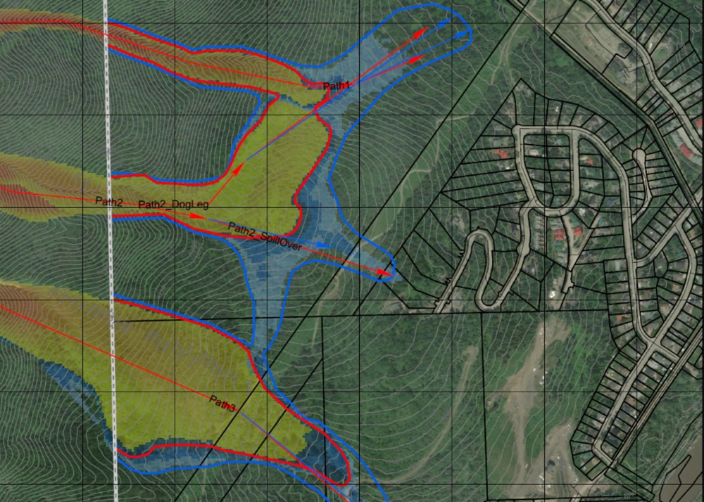
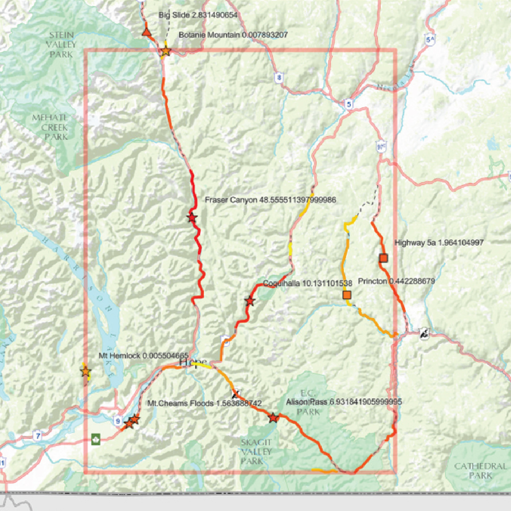
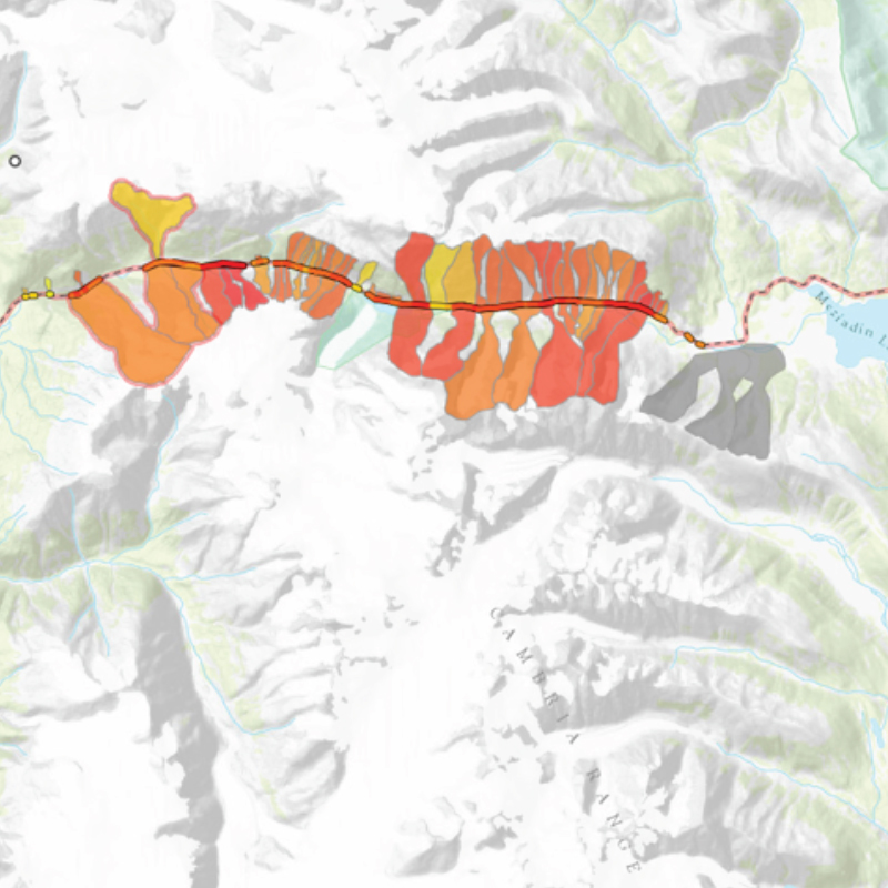
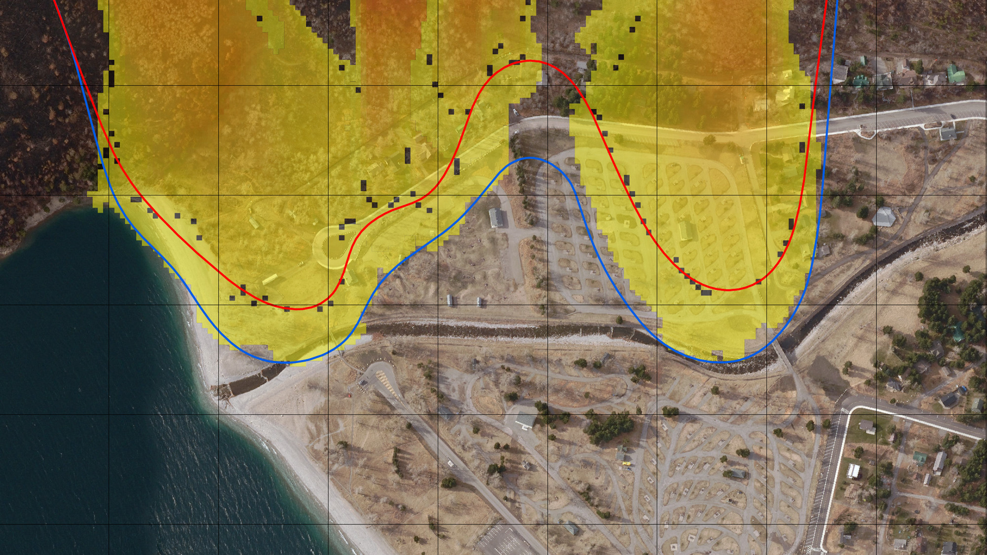
Creating clear, useable, and field functional avalanche hazard maps are what Alpine Solutions excels at. We have completed numerous avalanche hazard zoning maps for several municipalities and residential developments, over 10,000 km2 of ATES zone mapping for government and industry, and path mapping for countless highways and resources roads in Canada and the US. In addition, we have developed numerous Avalanche Atlases as an extension to the maps. We have recently integrated AutoATES, and advanced GIS techniques into the process to provide a useable mapping system that can be used by public, workers, and all people needing to make decisions in avalanche terrain.
Each avalanche project will be unique. Start here to evaluate your project needs.


