Comprehensive Avalanche Hazard Index Assessment
British Columbia’s Provincial Highway Network
Province of British Columbia
Project Requirements
- Conduct a comprehensive Avalanche Hazard Index (AHI) assessment for British Columbia’s entire provincial highway network.
- Create a user-friendly Geographic Information System (GIS) platform for visualizing and interacting with AHI values at various spatial scales.
- Enable on-the-fly AHI calculations to support hypothesis testing and scenario modeling.
- Empower the British Columbia Ministry of Transportation with a toolset to enhance safety, inform decision-making, and protect critical infrastructure from avalanche hazards.
Project Description
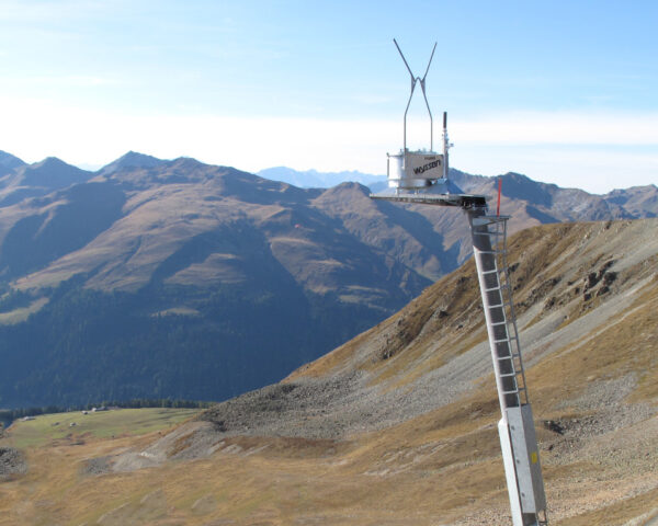
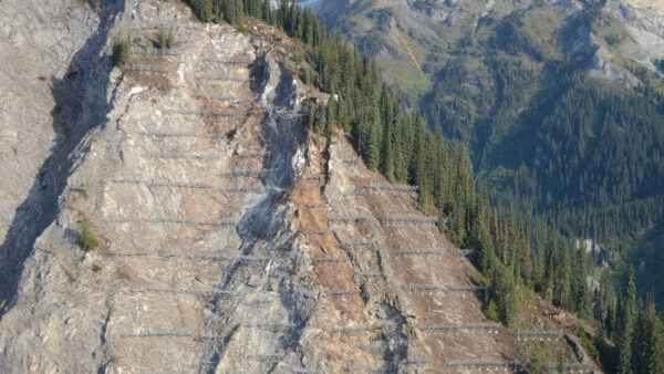
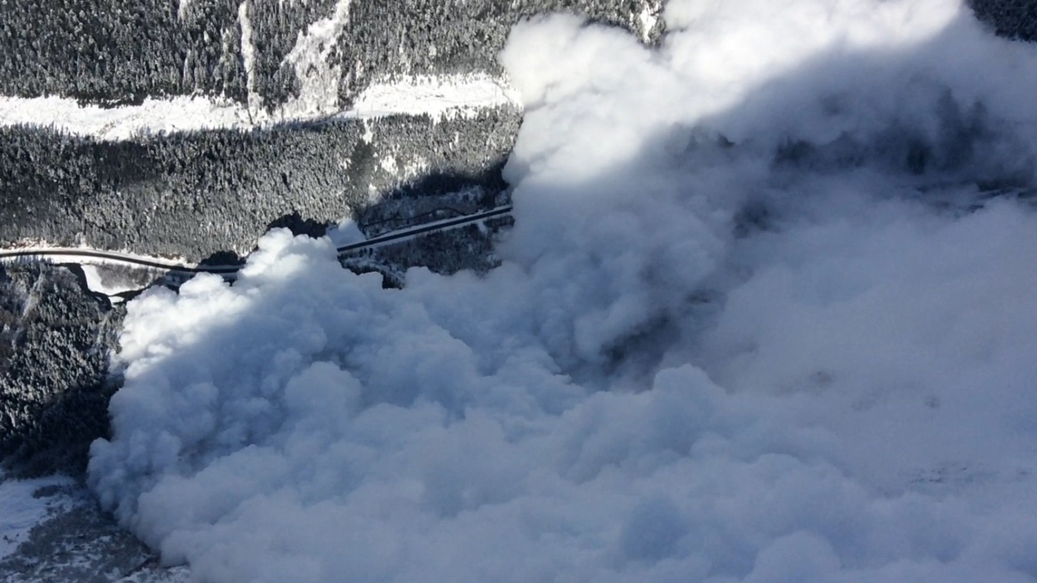
In 2022, the British Columbia Ministry of Transportation engaged Alpine Solutions to conduct a groundbreaking Avalanche Hazard Index (AHI) assessment for the province’s extensive highway network. The project aimed to provide a comprehensive understanding of avalanche risk by quantifying potential damage and loss resulting from interactions between snow avalanches and vehicles on the road. Unlike previous studies that focused on specific highways, this initiative sought to assess the entire network.
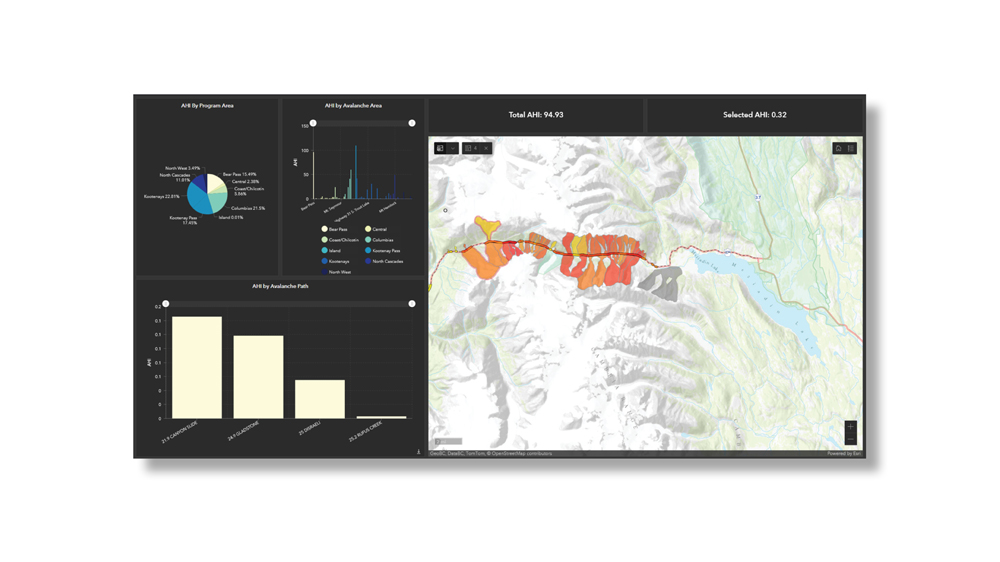
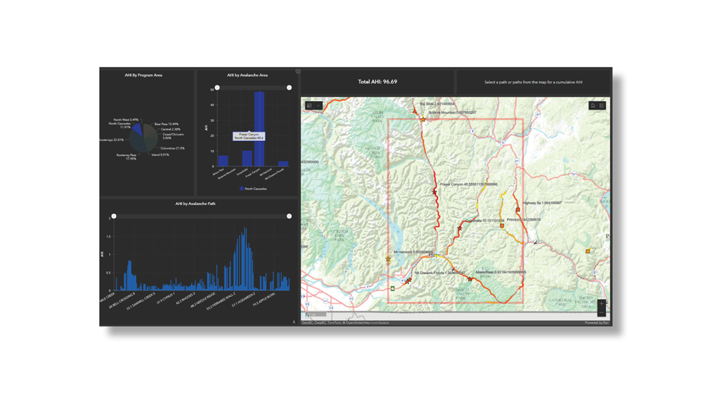
To achieve this, Alpine Solutions developed an innovative automated methodology for AHI calculation, leveraging data from BC’s Digital Road Atlas, traffic volume datasets, digital avalanche path polygons, and a vast repository of avalanche occurrence records. This data-driven approach allowed AHI values to be recalculated on the fly, providing users with the flexibility to adjust avalanche path and traffic parameters for hypothesis testing and scenario modeling.
To deliver the AHI results effectively, Alpine Solutions created a dynamic web-based Geographic Information System (GIS) platform. This platform offers intuitive GIS dashboards that enable users to explore and interact with AHI values at various spatial scales. It not only supports comprehensive data visualization but also facilitates scenario testing, offering a comprehensive solution for data management, analysis, and strategic planning.
Challenges
- Processing and integrating diverse datasets from BC’s Digital Road Atlas, traffic volume sources, avalanche path polygons, and over 170,000 avalanche occurrence records.
- Creating a user-friendly GIS platform that is accessible to stakeholders with varying levels of technical expertise.
- Ensuring the accuracy and reliability of AHI values, given the complex nature of avalanche hazard assessment.
- Addressing potential scalability issues when dealing with a comprehensive assessment of the entire highway network.
Solutions
- Worked with the Ministry of Transportation in an agile development team to ensure the end solution was efficient and effective at providing relevant insights into the data.
- Implemented a robust data integration process to harmonize disparate datasets for AHI calculation.
- Developed an automated methodology that efficiently processes data and allows users to customize parameters for on-the-fly AHI recalculations.
- Designed an intuitive and user-friendly GIS platform with interactive dashboards and a data editing portal for easy exploration and scenario testing.
- Conducted rigorous validation and quality assurance processes to ensure the accuracy and reliability of AHI values.
- Employed scalable infrastructure and data management techniques to handle the comprehensive assessment of the provincial highway network effectively.
Related Projects