LiDAR Survey for Terrain Data Acquisition in Remote Terrain
Yukon
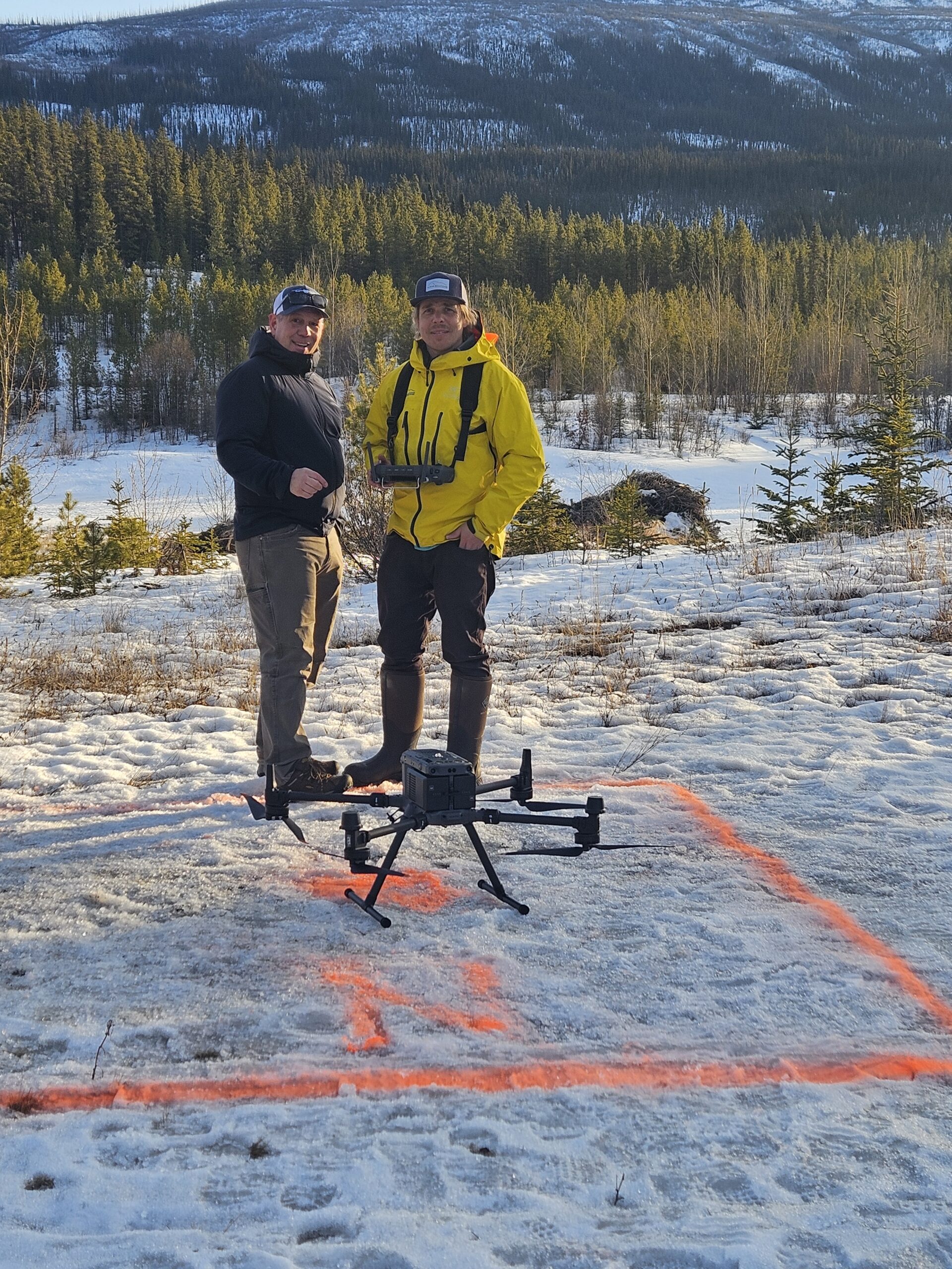
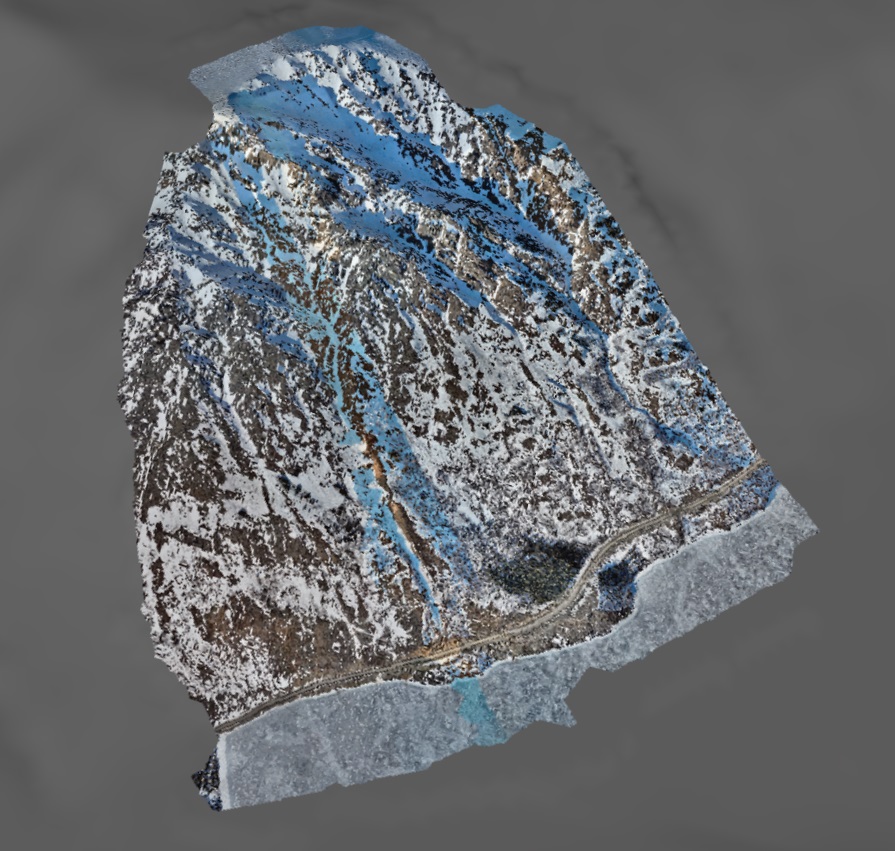
Alpine Solutions employed cutting-edge UAV LiDAR Survey technology to map a remote peak near Whitehorse, Yukon. Our advanced system captures details of the mountain’s topography and vegetation cover with unprecedented precision.
The resulting data will further studies on LiDAR assisted snowpack and avalanche hazard assessment.