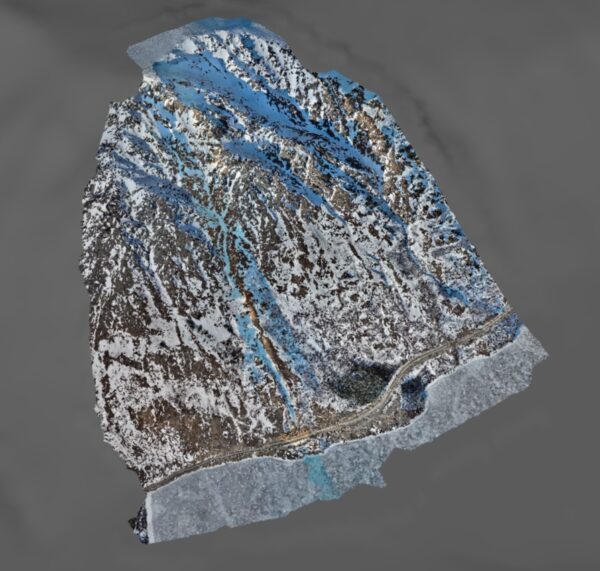
Lidar Glacier Survey for Vail Resorts
Scope of the Glacier Survey
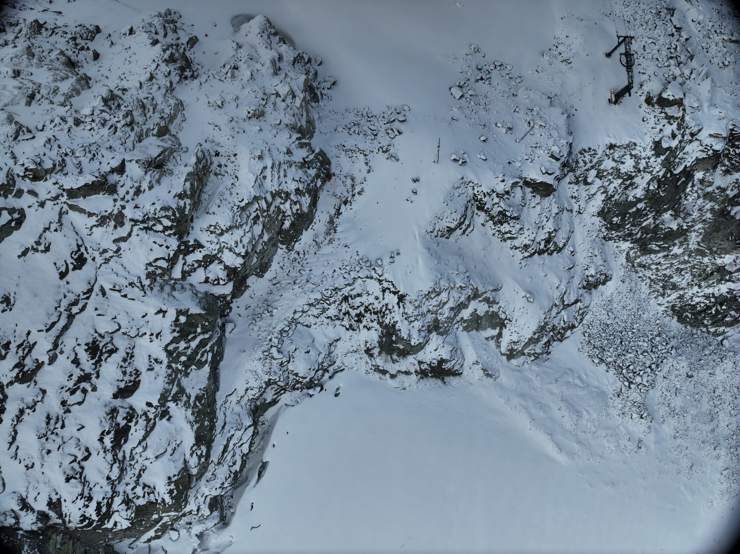
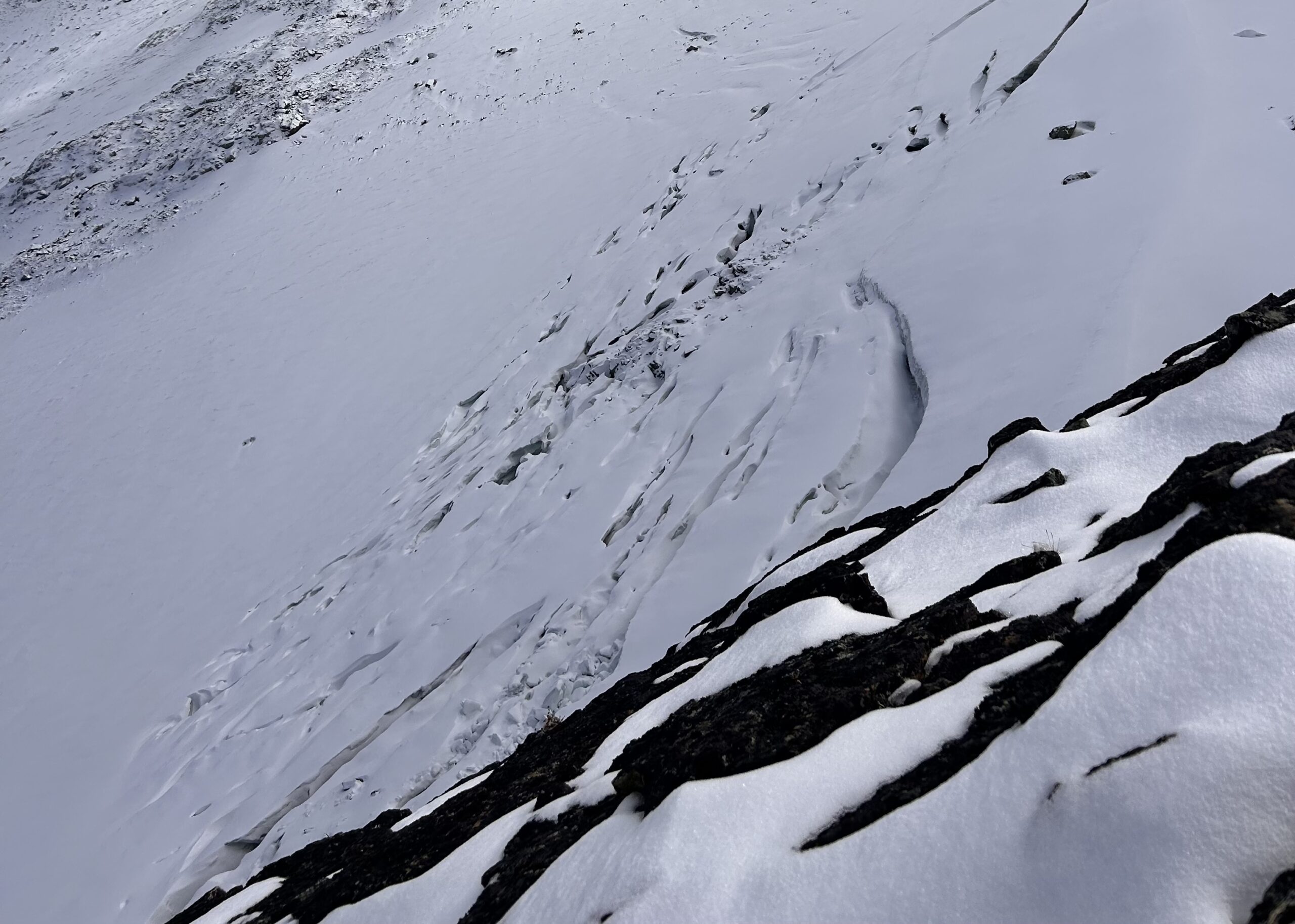
The goal was to conduct a detailed drone survey of both Horstman and Blackcomb Glaciers, located within the resort’s operational boundaries. Positioned at elevations of 2,250 and 2,300 meters respectively, these glaciers cover a combined survey area of approximately 2 to 3 square kilometers. Both glaciers have been losing ice volume, leading to significant changes in the topography and affecting resort operations in the area.
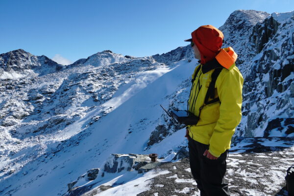
Applying Our Mountain Operations Expertise
Our team’s knowledge of the area and expertise in mountainous terrain made us the ideal partner for surveying Whistler Blackcomb’s glaciers. The project required expert drone operations, a cooperating weather window and site access using rugged/snowy terrain.
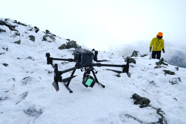
Drone Operation in Mountainous Terrain
Drone operations in the mountains need to be calculated, considering weather conditions can change rapidly, impacting visibility and flight success. That success depended on meticulous preparation: a detailed flight plan, a reliable digital elevation model, and constant monitoring of the conditions. Maintaining LiDAR accuracy meant carefully adjusting flight parameters to navigate the steep and rugged terrain while keeping a consistent altitude. At the same time, we had to keep a close eye on shifting cloud cover to ensure we could safely return the drone and the team to base if conditions deteriorated.
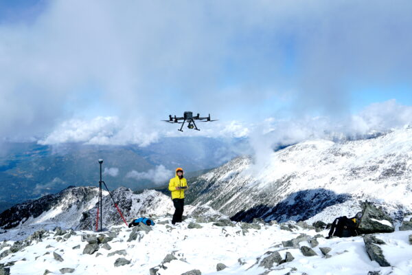
Providing Safe Access to Project Location
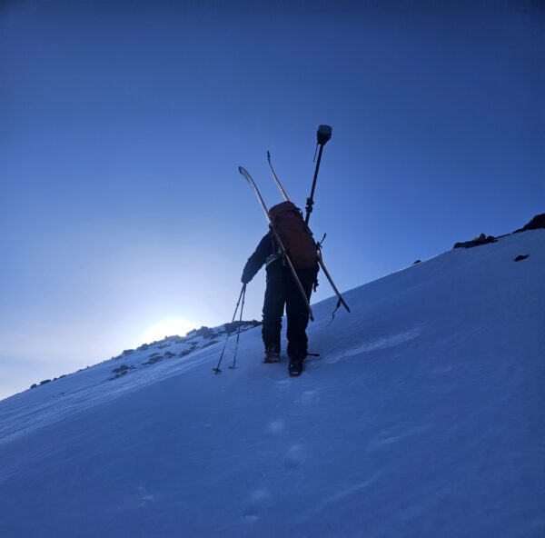
Beyond meticulous preparation to ensure a successful flight considering potential aerial challenges, technical skill was required to reach the mountain ridge top survey site. At Alpine Solutions, we pride ourselves on bringing together technical and mountain guiding expertise to deliver results in complex environments. Brian Gould, our Principal Engineer and IMFGA-certified guide, ensured access and safety while making sure the project adhered to all regulations and compliance standards for working in remote mountainous terrain.
LiDAR Data to Support Operational Challanges
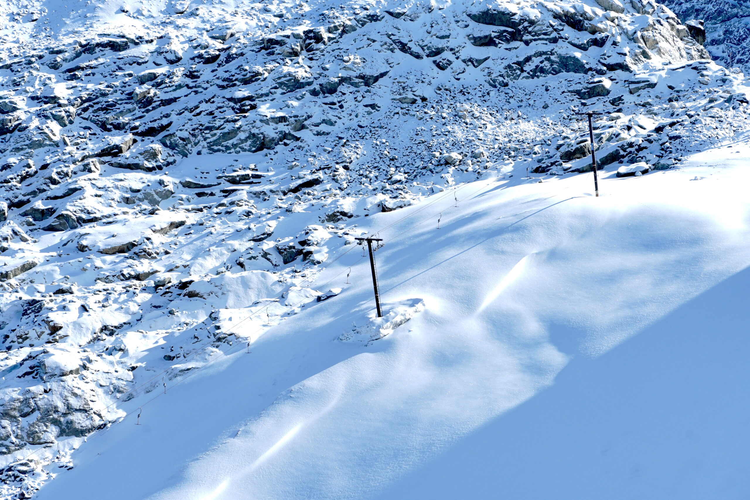
The Horstman and Blackcomb Glaciers have been observed to be receding and losing mass and volume in recent years. With the resort’s operations closely tied to the condition of these glaciers, maintaining accurate data on them is a top priority. Monitoring the T-Bar on the glacier, as well as access to Blackcomb Glacier National Park, is essential. By gathering and analyzing data using LiDAR technology, the resort can make more informed decisions regarding logistics and operations within the glaciated area.
