Geomatic, mapping, and UAV survey specialists.
Geomatics
Our tailored solutions cater to your specific needs, offering advanced geospatial data collection, analysis, and visualization. Whether you're in land surveying, asset management, or environmental monitoring, our customized Geomatics and UAV services provide the tools to optimize decision-making and streamline workflows. Experience the power of cutting-edge technology and expert insights, guiding you towards smarter spatial solutions for a wide range of applications.
Custom GIS Application
Precision and customization with our tailored GIS applications, optimizing decision-making across all environments with unparalleled spatial intelligence.
GIS and Mapping
GIS and mapping services are integral to our approach. Our skilled team of GIS specialists is poised to support projects with unique mapping solutions for our clients. We provide accessible GIS and mapping services to aid clients in analyzing and presenting their data in line with project requirements.
UAV Survey
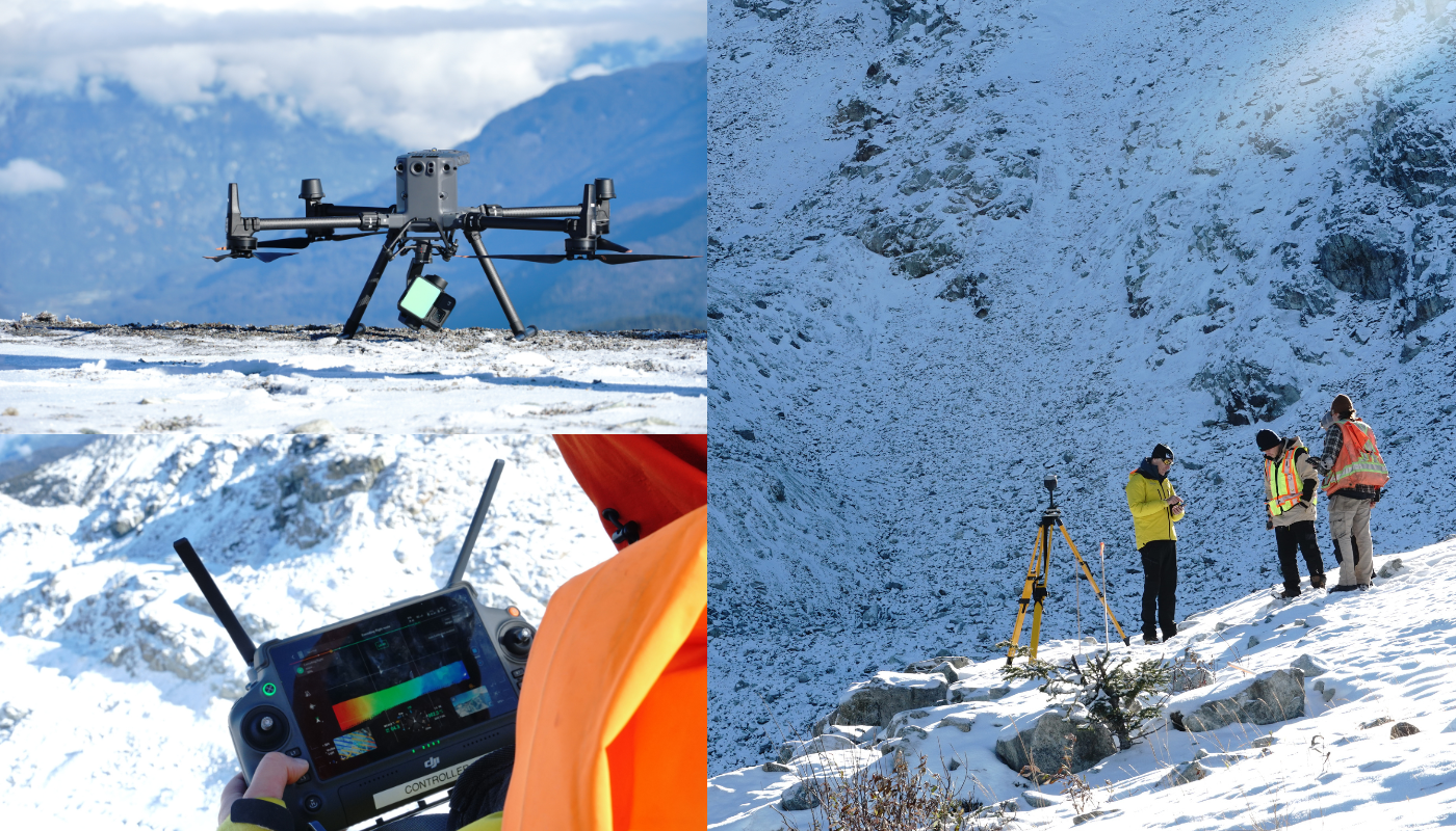
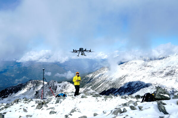
Precision and efficiency with our customized UAV survey solutions, offering advanced aerial data collection and analysis tailored to your project needs. For any project type, optimize decision-making and maximize productivity with our high-resolution imagery and accurate mapping services.
LiDAR
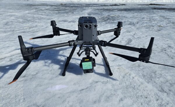 LiDAR services utilize laser technology to capture precise 3D data of terrain, structures, and objects. By emitting laser pulses and measuring their return time, LiDAR creates highly detailed maps and models, enabling applications in industries such as forestry, infrastructure, and urban planning. These services provide insights for elevation mapping, vegetation analysis, and infrastructure monitoring.
Photogrammetry
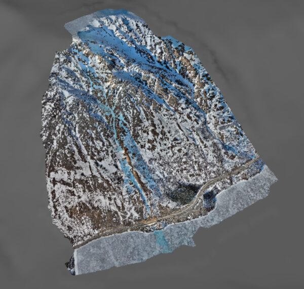
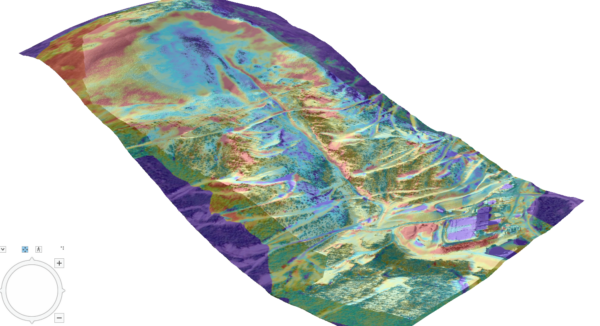 services transform aerial or terrestrial photos into precise 3D models and maps for diverse industries. By analyzing overlapping images, these services offer accurate measurements and insights for applications like urban planning and construction.
Inspection
We use UAVs equipped with cameras to inspect infrastructure and assets efficiently. This provides high-resolution data for analysis, benefiting industries like construction and utilities by enhancing safety and asset management.


